
The Alta Via 1 is a stunning trek that takes you through the heart of the Italian Dolomites, an UNESCO World Heritage Site. This 120 km trail runs from Dobbiaco to Belluno, offering breathtaking views of the jagged peaks, serene lakes, and picturesque villages along the way. Here’s a guide to help you prepare for your trek on the Alta Via 1:
The Trail
The Alta Via 1 is divided into ten sections that can be hiked in 7-10 days, depending on your pace and fitness level. The trail is well-marked with red and white stripes and includes steep ascents and descents, exposed ridges, and rocky terrain. The best time to hike the challenging Alta Via 1 in the Dolomites is from mid-June to mid-September, but it’s important to check weather and trail conditions.
Section by Section Guide
Section 1: Dobbiaco to Rifugio Biella
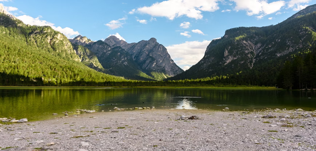
- Distance and Type: 11.5 kilometers point to point.
- Time needed: 5-6 hours.
- Difficulty: Moderate-Difficult
This section starts in the charming town of Dobbiaco and takes you through beautiful alpine meadows and forests to Rifugio Biella, which offers stunning views of the surrounding peaks.
Section 2: Rifugio Biella to Rifugio Fanes
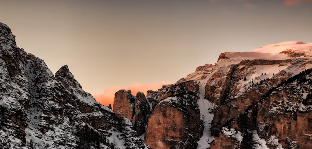
- Distance and Type: 9.2 kilometers point to point.
- Time needed: 4-5 hours.
- Difficulty: Moderate
This section takes you through the Fanes-Sennes-Prags Nature Park, with its green meadows and rugged mountains. The trail passes by beautiful lakes and stunning panoramic views before reaching Rifugio Fanes.
Section 3: Rifugio Fanes to Rifugio Lagazuoi
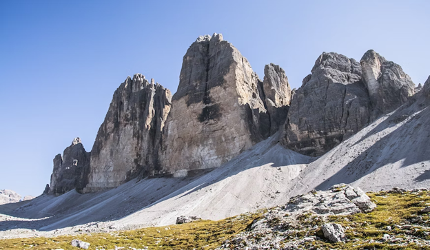
- Distance and Type: 13.4 kilometers point to point.
- Time needed: 6-7 hours.
- Difficulty: Moderate
This section is one of the most challenging, with steep ascents and descents and exposed ridges. However, the views of the Tre Cime di Lavaredo and the surrounding peaks make it all worth it. The section ends at Rifugio Lagazuoi, which is in a historic World War I fortress.
Section 4: Rifugio Lagazuoi to Rifugio Nuvolau

- Distance and Type: 8.2 kilometers point to point.
- Time needed: 4-5 hours.
- Difficulty: Moderate
This section takes you through beautiful alpine meadows and pastures to Rifugio Nuvolau, which offers stunning views of the surrounding peaks.
Section 5: Rifugio Nuvolau to Rifugio Averau
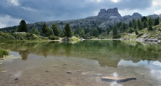
- Distance and Type: 6.4 kilometers point to point.
- Time needed: 3-4 hours.
- Difficulty: Moderate
This section takes you through a beautiful high-altitude landscape with stunning views of the surrounding peaks. The section ends at Rifugio Averau, which is in a beautiful alpine meadow.
Section 6: Rifugio Averau to Rifugio Passo Staulanza
- Distance and Type: 13.1 kilometers point to point.
- Time needed: 5-6 hours.
- Difficulty: Moderate
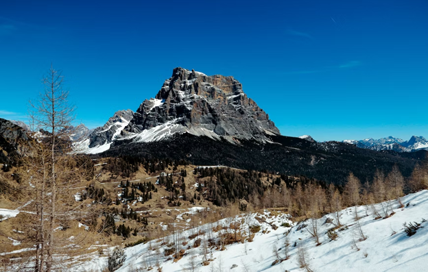
This section takes you through the beautiful Val di Zoldo, with its rugged mountains and picturesque villages. The section ends at Rifugio Passo Staulanza, which is located at the pass between the Veneto and Trentino regions.
Section 7: Rifugio Passo Staulanza to Rifugio Coldai

- Distance and Type: 15.8 kilometers point to point.
- Time needed: 6-7 hours.
- Difficulty: Moderate-Difficult
This section takes you through beautiful alpine meadows and pastures to Rifugio Coldai, which is in a stunning mountain landscape with views of the surrounding peaks.
Section 8: Rifugio Coldai to Rifugio Vazzoler

- Distance and Type: 12.6 kilometers point to point.
- Time needed: 5-6 hours.
- Difficulty: Moderate
This section takes you through the heart of the Dolomites, with stunning views of the surrounding peaks. The section ends at Rifugio Vazzoler, which is in a beautiful alpine meadow.
Section 9: Rifugio Vazzoler to Rifugio Carestiato
- Distance and Type: 14.7 kilometers point to point.
- Time needed: 6-7 hours.
- Difficulty: Moderate
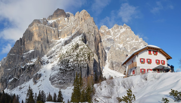
This section takes you through the beautiful valleys of the Dolomites, with stunning views of the surrounding peaks. The section ends at Rifugio Carestiato, which is in a peaceful alpine meadow.
Section 10: Rifugio Carestiato to Belluno

- Distance and Type: 12.2 kilometers point to point.
- Time needed: 4-5 hours.
- Difficulty: Moderate-Difficult
This final section takes you through the foothills of the Dolomites and down to the charming city of Belluno. The trail follows a gentle descent through fields and forests before ending in the city center.
Lodging
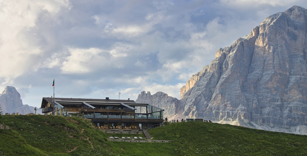
There are numerous rifugios (mountain huts) along the Alta Via 1, which offer accommodation and meals for hikers. During the peak season (July-August), it’s highly advisable to make reservations in advance, as accommodations along the trail can fill up quickly.
Alternatively, there are also several hotels and guesthouses in the towns and villages along the route. Some hikers choose to do a combination of rifugio and hotel stays, depending on their preference and budget.
Recommended Gear and Clothing
- Sturdy hiking boots with good ankle support
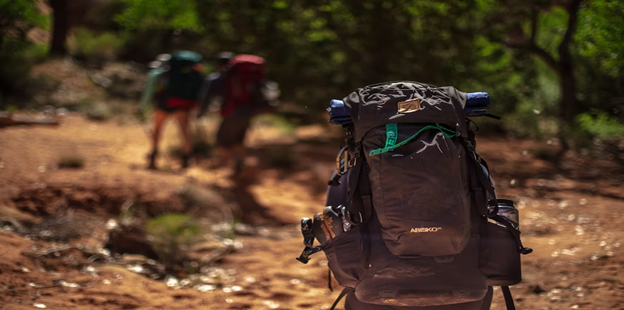
- Backpack (30-40 liters)
- Lightweight and waterproof clothing layers (including a warm fleece and rain jacket)
- Hiking pants and shorts
- Hat and gloves
- Sunglasses and sunscreen
- Water bottle or hydration system
- Snacks and trail mix
- Map and compass (or GPS device)
- First aid kit
It’s important to pack light and only bring essential items, as you’ll be carrying everything on your back throughout the trek. As weather conditions in the Dolomites can be unpredictable, it’s crucial to be well-prepared for changing conditions.
Tips and Recommendations
- Train and prepare physically before the trek, as some sections of the Alta Via 1 can be challenging and require a good level of fitness.
- Bring cash, as some rifugios may not accept credit cards.
- Take advantage of the opportunity to try local cuisine, as many rifugios offer traditional dishes made with fresh ingredients.
- Respect the environment and follow Leave No Trace principles by carrying out all trash and avoiding damage to the natural landscape.
- Be prepared for changing weather conditions and check the forecast regularly.
- Always carry enough water and snacks, as there may be long stretches without access to food and water.

